Remote sensing reveals shrinking green space in Amsterdam
11 October 2018
Until now, the policy areas surrounding urban development and green spaces have been evaluated independently of one another. As a result, the unintended negative effects these areas exert on one another have remained invisible. With the help of satellite imagery and remote-sensing technology, however, urban planner Mendel Giezen and his team have shown how the development of a compact city has led to the shrinkage and fragmentation of public green space. Their work offers a valuable instrument for identifying cause-and-effect relationships between various policy areas.
Green space and compact cities
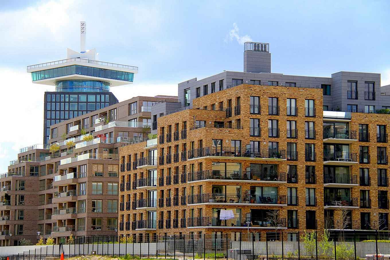
Green space and compact cities are key priorities in developing sustainable cities. Green spaces provide essential ecosystems for adapting to environmental challenges caused by urbanisation and climate change. The compact city is characterised by the efficient use of space, land, infrastructure, jobs and services.
Remote-sensing technology
With the help of remote-sensing technology, the research team analysed satellite images from 2003 and 2016 in order to expose net changes in land use in the urban core of Amsterdam. Specifically, the team examined the effects of Amsterdam's densification policy on the one hand, and the city's efforts to protect urban green spaces on the other.
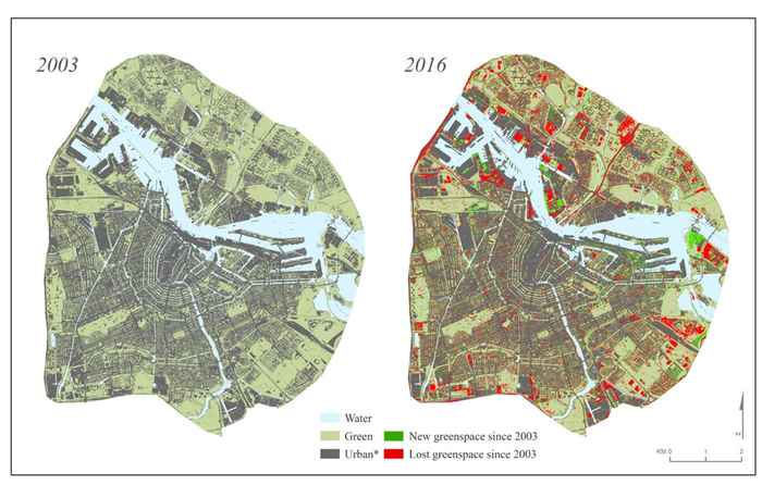
Shrinkage and fragmentation of public green space
The results show a decrease in the quantity of public green space and an increase in the built-up environment. What's more, the satellite images also revealed a marked fragmentation of the green spaces into ever-smaller segments. These results illustrate that Amsterdam's policy for urban green spaces has been ineffective in compensating for the negative effects of urban densification. As a result, it will prove more difficult to realise the goal of a sustainable city.
A valuable instrument for sustainable cities
Through this study, Giezen and his team have delivered a valuable instrument for visualising the mutual and inadvertent negative effects of interrelated policy areas. This can stimulate coordinated changes to policy which will enable cities to effectively use green spaces to adapt to climate change, improve the quality of their air and enhance their liveability.
More information
The results of the study have been published in the international academic journal for Geo-information and are freely available to download.